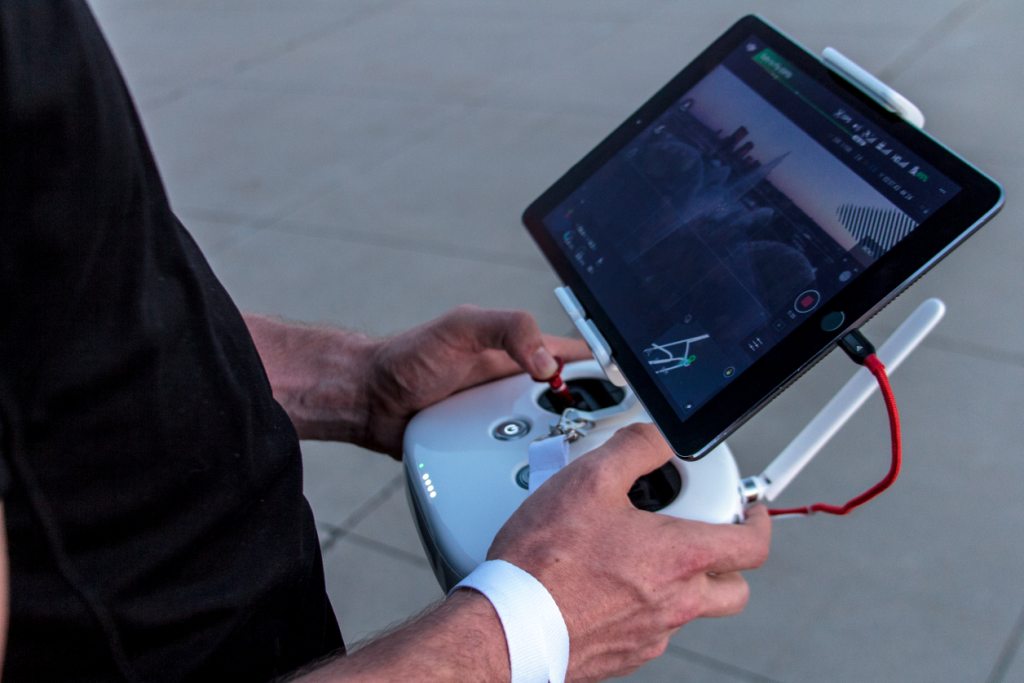
At NewGen UAS Pvt. Ltd we understand that there is no one-size fit-all approach in conducting aerial survey and mapping to collect quality data. Our professionals with expertise in Survey and Mapping work backwards to understand data quality and output requirements and create a comprehensive aerial image acquisition, ground control setup and data processing plans. Our crew completes all required safety-check manoeuvres and meticulously follows the mandated airspace restrictions, limitations and other safety concerns that may impact the operations

At NewGen UAS Pvt. Ltd we dont follow the "push-button" approach to data processing. While we are cognizant of the fact that
automated data processing may be sufficient for many kinds of
applications, the same approach may not fit for engineering and
precision based survey and mapping projects.
Our expert team, who are conversant in traditional remote sensing
and photogrammetry tailors the data processing to suit the accuracy requirements.

Our deep learining and domain experience in various sectors which utilize Aerial images for planning and monitoring purposes, we conduct comprehensive and detailed analysis using the data generated including calculation of cut-and-fill volumes, Land use Land Coverage plans, terrain profiling, strenght analysis for buildings, asset mapping and 2D and 3D Web based data visualization and Analytics.







We use C-Astral Bramor PPX drones which ensures high resolution Aerial Mapping upto 2 cm GSD for Planning purposes. We Provide
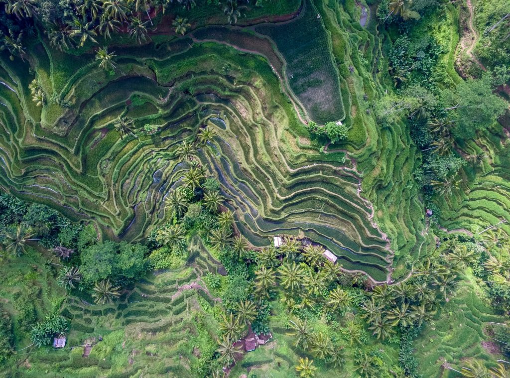
We use C-Astral Bramor PPX drones which ensures high resolution Aerial Mapping upto 2 cm GSD for Cadastral Survey ad Mapping purposes. We Provide

We use DJI Enterprise grade drones for Inspections & Progress Monitoring. We Provide
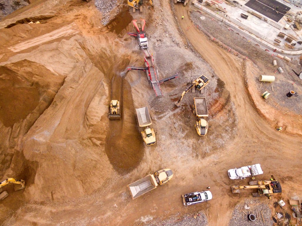
We use DJI Enterprise grade drones for Inspections & Progress Monitoring. We Provide
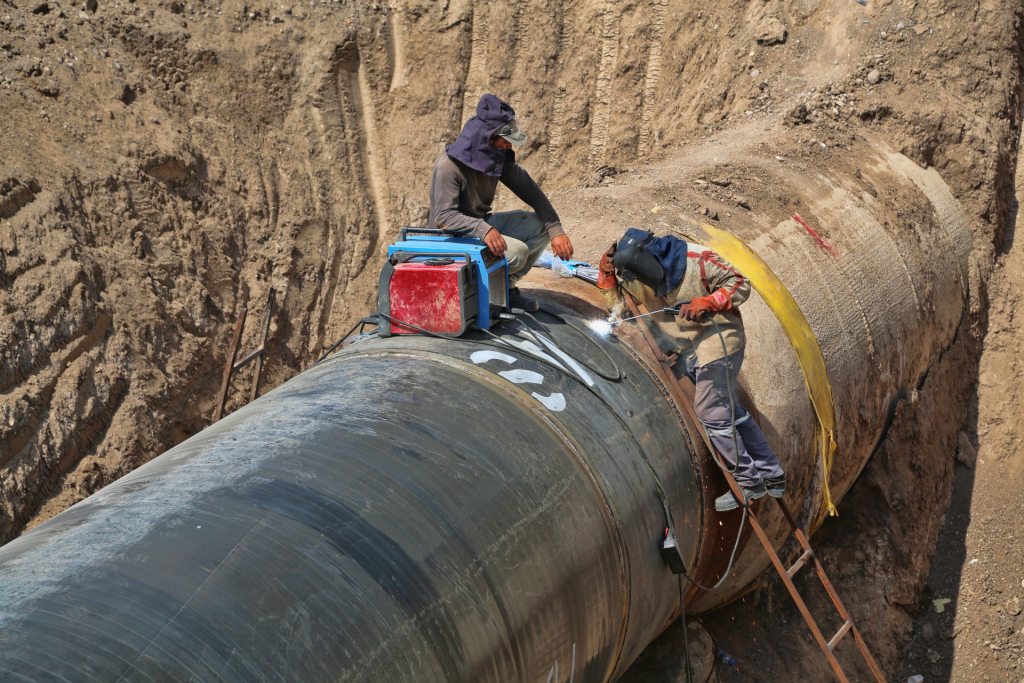
We use DJI Enterprise grade drones for Inspections & Progress Monitoring. We Provide

We use DJI Enterprise grade drones for Inspections & Progress Monitoring. We Provide

