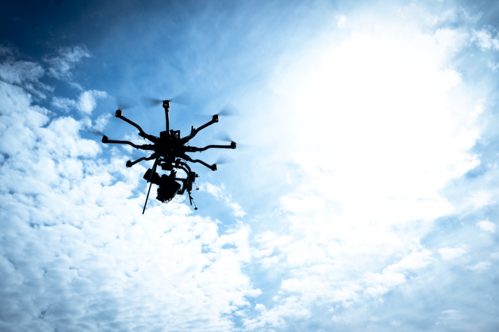
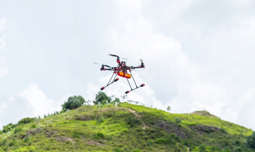

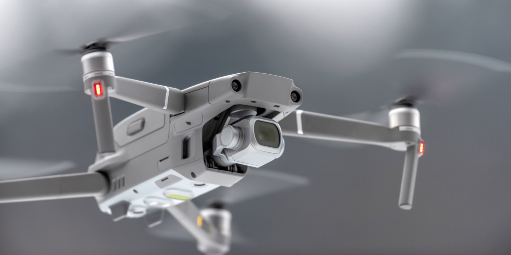
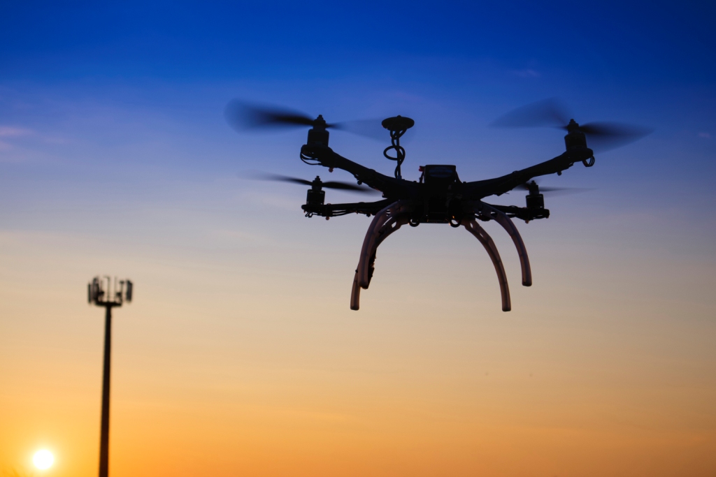

Innovations throughout the unmanned aerial systems (UAS) started changing the way Survey and Mapping once were done. Many Industries and Organizations have begun looking at ways that drones can augment the tasks they do in an efficient, faster and cost effectively manner, particularly in cases where drones can accomplish a task much faster

The adaptive and cost effective options of drone technologies are profoundly transforming transport Industry and address the increasing requirements for the capacity and overall performance of transport systems. UAVs are significantly changing modern transport networks and revolutionizing the sector, thus creating greater efficiency in the way systems are maintained and managed

NewGen UAS Pvt. Ltd technical expertise, domain knowledge and industry offerings differentiate us as a End-to-End solution providers in UAV based Aerial Image acquisition, Data Processing, Integration of GIS Data with industry standard mining softwares and provide solutions across our clients’ value chain

Drones play pivotal role in Transportation and infrastructure planning, such as monitoring of mapping and monitoring of critical assets like bridges and tunnels; environmental security monitoring along the roads, physical security monitoring (including detection of intrusions, objects stolen or moved).

The conglomerate currently serving industries such as Urban Development, Master Planning, Industrial Planning, Mining, Agriculture, Utilities mapping, Construction project monitoring and 3D city solutions.

We are providing Mobile & Drone LiDAR (Light Detection and Ranging) survey solutions and digital intelligent 3D Modeling/Building Information Modeling (BIM) for DPR consultants, industries, insurance companies, Urban Local Bodies and Private & Public Infrastructures companies. NUPL has vast experience in post processing of LiDAR, UAV and Satellite data.

Through harnessing the Power of Advanced Drone Technology, NewGen UAS Pvt. Ltd brings best of breed UAVs to offer valuable capabilities to energy and utility surveys

1
2
3
4
5
6
7
img img

WHO WE ARE

NewGen UAS Pvt. Ltd (NUPL) is pioneer in Digital Photogrammetry and UAV based Aerial Surveys (both Photogrammetry and LiDAR). NUPL, so far, has successfully completed UAV Based Aerial Survey of 257 Sq.kms (63,506.1 acres) area. The Team of NUPL together has more than 15 years experience in Digital Photogrammetry,Geographic Information Systems, WebGIS, Information and Communication Technology (ICT) based application development

Read More
img

MICRO

Weight more than 250 grams and lessthan or equal to 2 kg
img

SMALL

Weight more than 2 kg and less than or equal to 25 kg

img

MEDIUM

Weight more than 25 kg and less than or equal to 150 kg

img

LARGE

Weight more than 150 kg

OUR SERVICES

INNOVATIVE SOLUTIONS. ON-TIME DELIVERY AND HIGHEST CUSTOMER SATISFACTION

view more

Contact us

By using this form you agree with the storage and handling of your data by this website.