The conglomerate currently serving industries such as Urban Development,
Master Planning, Industrial Planning, Mining, Agriculture, Utilities mapping,
Construction project monitoring and 3D city solutions.
Our many years of experience and expertize has enables us to innovate and
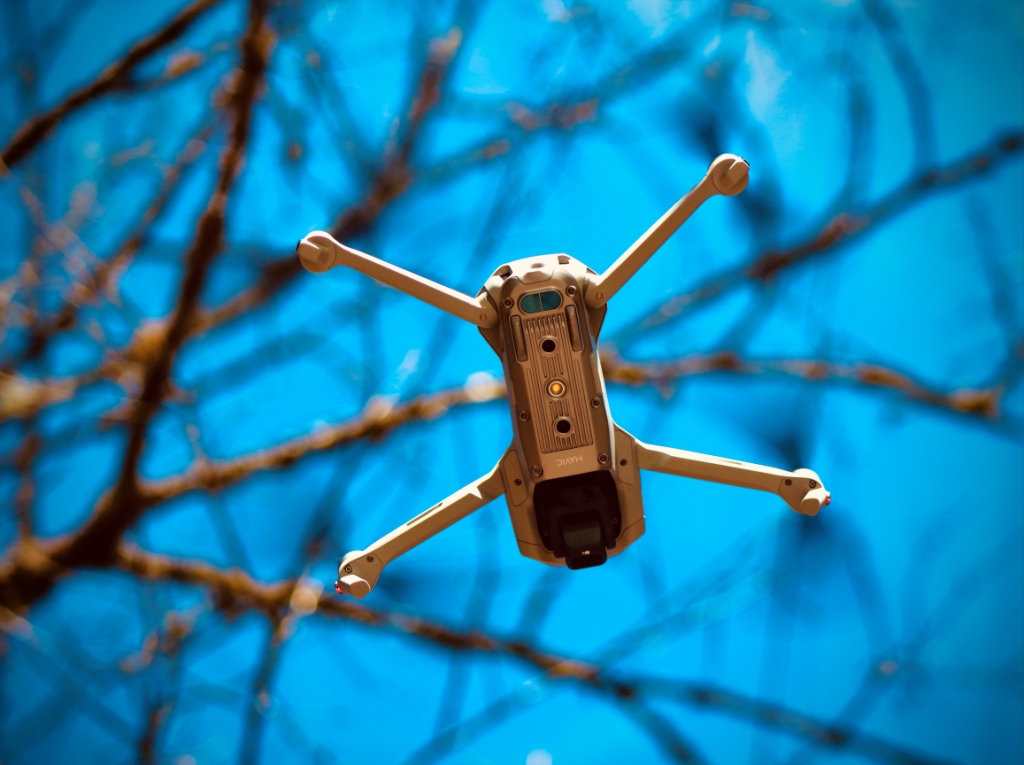
expand to new horizons by offering cutting edge UAV based services. We
strongly believe that success is attained through Knowledge, Integrity, Commitment, Innovation and Professionalism.
We are providing Mobile & Drone LiDAR (Light Detection and Ranging) survey solutions and digital intelligent 3D Modeling/Building Information Modeling (BIM) for DPR consultants, industries, insurance companies, Urban Local Bodies and Private & Public Infrastructures companies. NUPL has vast
experience in post processing of LiDAR, UAV and Satellite data

